Tour des Combinsthe alpine route
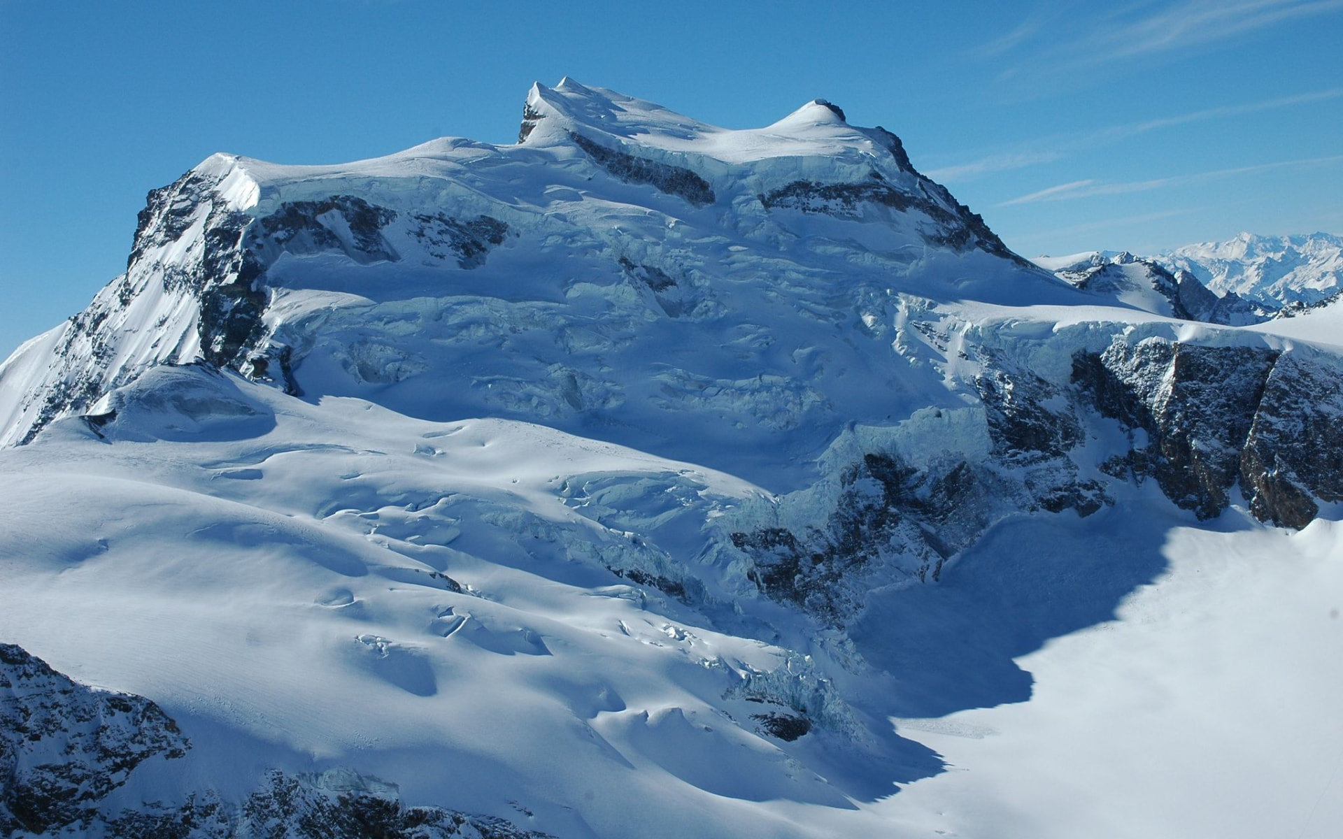
Five days on foot, hut to hut around the Grand Combin massif, between Valais and the Aosta Valley. The walk day by day, the maps, the huts and the photos.
Difficult, but within reach.
The tour, day by day
One map to explore everything: tap a day on the timeline or directly on its track to see the story, the variants, the elevation profile, the photos and the GPS track to download.
The whole loop around the Combins
Day 1 variant via Mont Rogneux not counted. Tap a track or a stage for the details.
The profile of the tour
The actual shape of the walk, recorded day after day. The big dip in the middle is the descent into Italy before the van ride back through the tunnel.
Measured on the walk: 79.6 km on foot, lowest point 1568 m, highest 3419 m.
Getting to the start
The tour starts from Le Châble. Depending on your Day 1 option, take the public minibus up to Cabane Brunet, or the cable car to La Pasay.
Le Châble → Brunet
Regular departures from Le Châble station. Perfect for the short Day 1 start.
Le Châble → La Pasay
Up to La Pasay for the long Day 1 options (flatter or Mont Rogneux).
Alp Transfer
Transfer Ollomont → Bourg-St-Pierre through the tunnel (Day 4). By appointment only.

Extend your stay
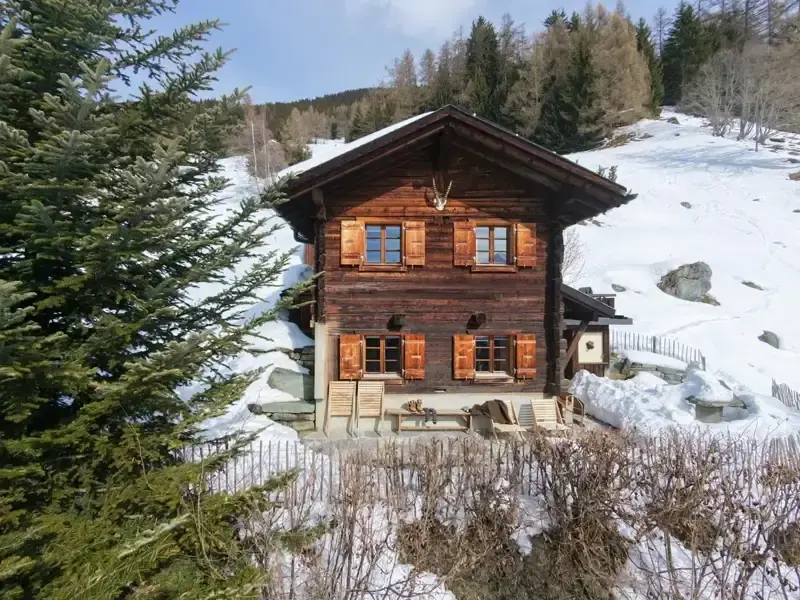
Stay at Gypaète
Le Gypaète, our off-grid alpine mayen at 1,534 m, 10 min from Verbier. 100% solar, sleeps 6, 3 bedrooms. Perfect to acclimatise before the trek or recover after five days on the trail.
Before the tour. A night or two before the tour, to settle into mountain time.
After the tour. A hot shower, a proper bed and a quiet evening after the 8,175 m of climbing.
The pack, LIGHT
We sleep in mountain huts, so no personal technical gear is needed. Packed lunches are picked up at the huts in the morning.
30–35 L pack
With a rain cover. Everything has to fit inside.
Sleeping bag liner
Compulsory in the huts. The one thing not to forget.
Boots + poles
Broken-in hiking boots, telescopic poles for the long descents.
Water
Bottle or bladder, refilled at the huts.
Warm layers
Fleece, light down jacket, hat and gloves.
Windproof
Waterproof and windproof jacket.
First-aid kit
Blister plasters (Compeed) + tape, antiseptic, dressings, painkiller, anti-inflammatory, anti-diarrhoeal, tweezers, survival blanket.
Sun
Category 3 sunglasses, high-factor sunscreen, lip balm, cap or hat.
Head torch + power bank
Pre-dawn start on Day 4, and no guaranteed power sockets in the huts.
Hut kit
Earplugs, light sandals or flip-flops, microfibre towel, minimal washbag.
Snacks
Bars, dried fruit and a little extra for the long days.
Documents
Passport / ID card plus a credit card or cash.
Personal
Charged phone with the tracks downloaded offline, toilet paper, small rubbish bag.
The trip, day by day
Shared album, filled in live from the huts. Pick a day, drop your shots, star the best ones.
Loading gallery…
Rescue & emergencies
Save these before leaving: emergency numbers and rescue points around the massif, on both the Swiss and the Italian side.
Emergency numbers
Hôpital du Valais - Sion
24/7 emergency department, main hospital of central Valais
Ospedale Parini - Aoste (Italie)
Nearest hospital on the Italian side (Day 3 / Chiarella). 24/7 emergency
Elisoccorso - Aoste (Italie)
Italian medical helicopter, call 118 (medical) or 115 (alpine rescue)
Air Glaciers - base de Sion
Mountain rescue helicopter, call 1415 (Air Glaciers) or 1414 (Rega)
Pharmacie du Châble
Last pharmacy stop before the climb (Day 1)
Bourg-Saint-Pierre - commune
Day 4 contact point (van transfer / Grand-St-Bernard tunnel)
Where we sleep
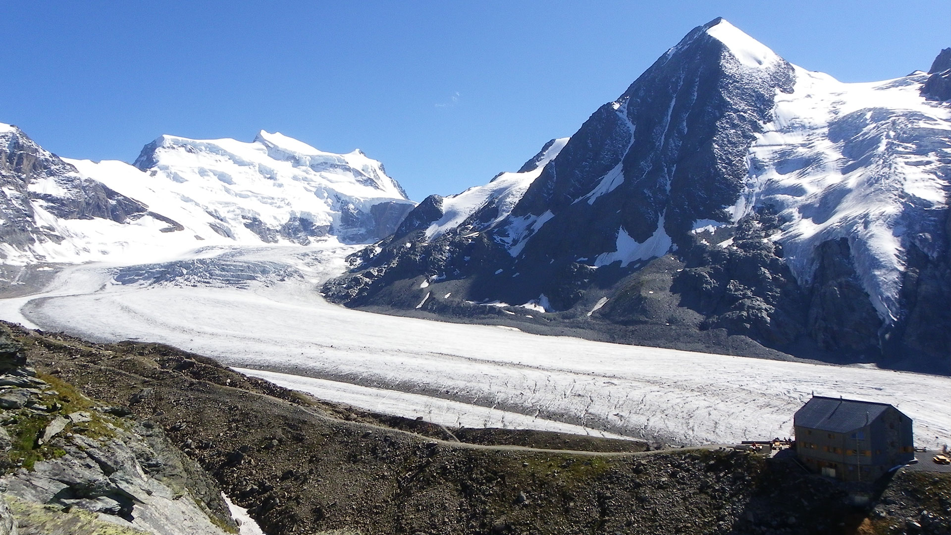
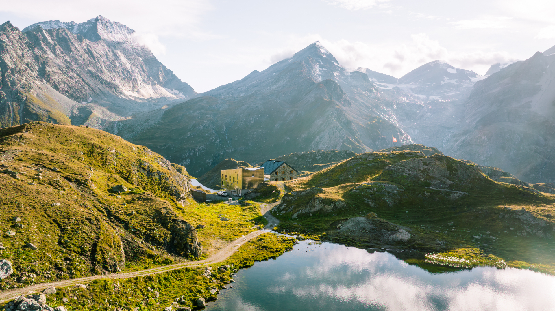
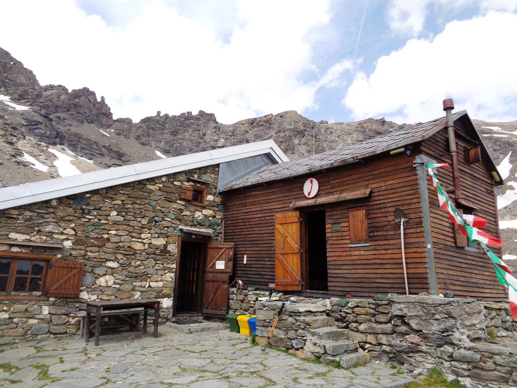
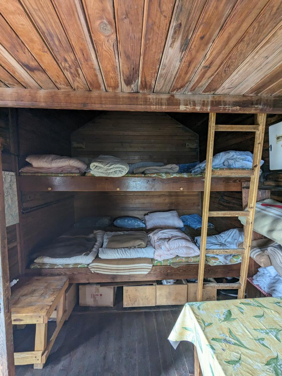
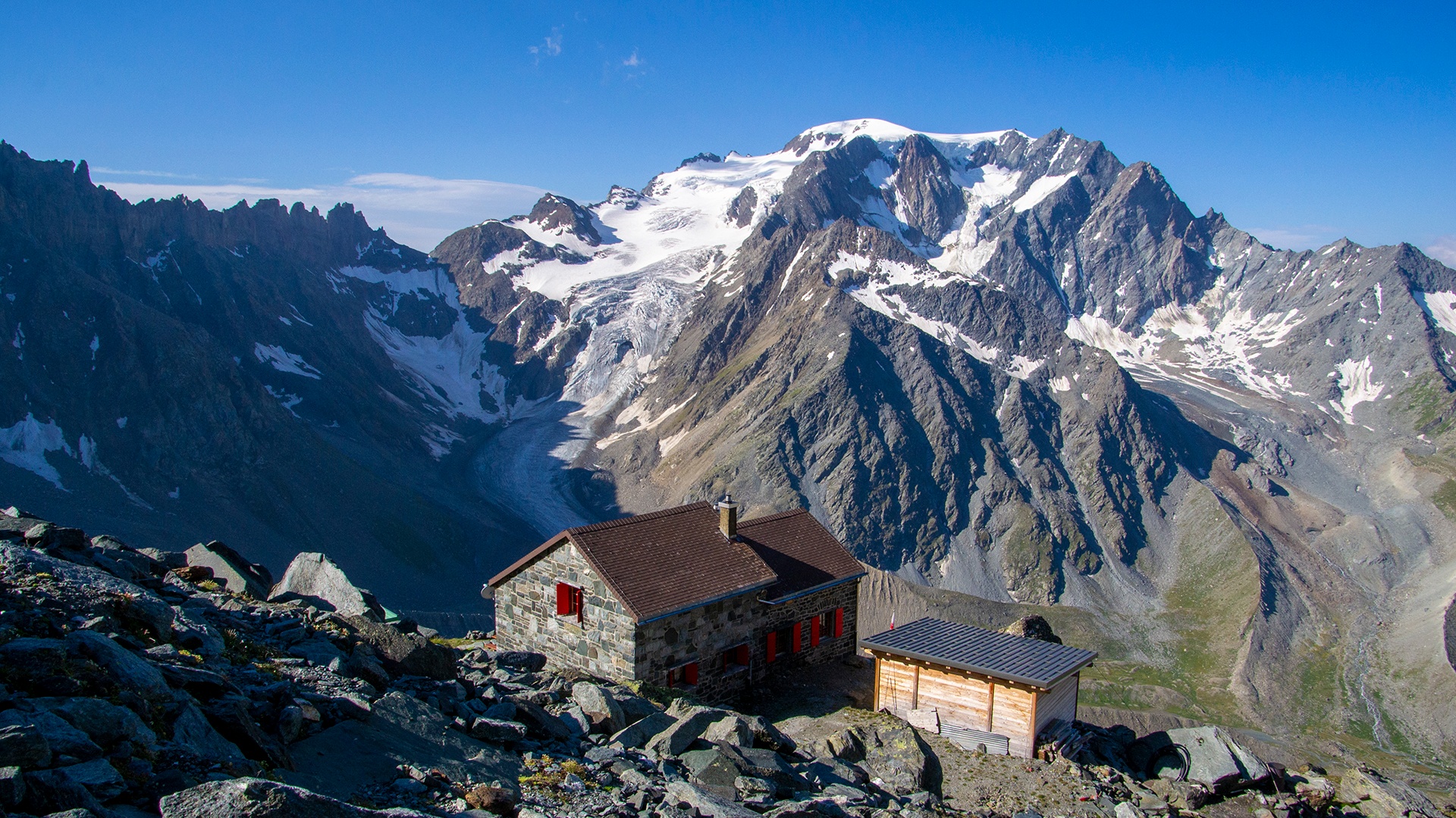
Four nights booked in high-altitude mountain huts. Click a card to visit the hut's website.
Where we sleep
Mountain huts along the route
Four nights in high-altitude refuges. Click a card to visit the hut's website.